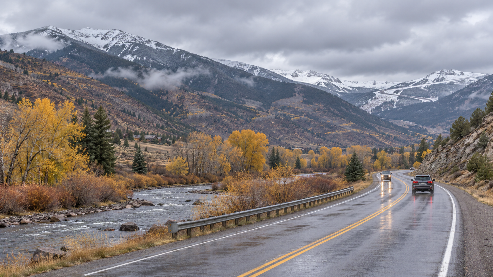
Heading out Wednesday morning? Expect a different picture in the valley than on the higher roads. The National Weather Service forecasts valley rain, mountain snow above about 9,500 feet and wind gusts up to 45 mph with this passing system. Its Eagle County briefing says travel over mountain passes could be slippery Tuesday night into Wednesday morning.
What drivers should know
This is a forecast, not a report of a road closure. Conditions can change quickly with elevation and overnight temperatures. Before leaving for work, school or an airport trip, check the latest Eagle County forecast and COtrip’s live road conditions and cameras. Allow extra time if your route crosses a pass, and keep an eye on any new alerts.
What about the ski slopes?
Snow at higher elevations may help build the early-season base, but this forecast alone does not establish how much snow a particular resort will receive or whether terrain will open. Check each resort’s own snow and opening updates before making plans. The near-term practical concern is the Wednesday morning drive.
Travel without driving
For trips within the valley, compare the current Core Transit schedules and alerts. Its winter schedule change begins November 22; use the current schedule for Wednesday, November 18.
Updated November 17, 2026. Forecast source: National Weather Service, Eagle County. Road conditions can change after publication; use COtrip for current travel information.
